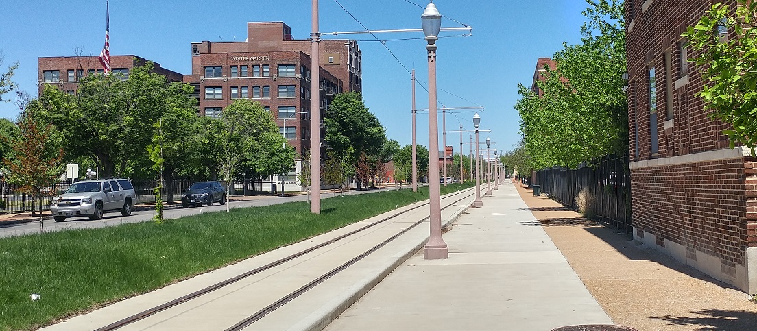
As the Loop Trolley project nears completion let’s look at the changes to the streetscape and the condition and potential of the adjacent land. A goal of the trolley is to encourage development along the route. Neighborhood and TOD plans for the area express a desire to build urbanity. Beyond creating a great walkable neighborhood, more productive land uses are imperative to cover the cost of infrastructure and services in the long term. Public investment should follow private investments so as to minimize the public’s risk. Parts of the trolley route are quite productive, so the route may have a good combination of supporting productive places and “built ti and they will come.”
The trolley operates on a single track from the Missouri History Museum up DeBaliviere alongside the St. Vincent Greenway then heads west at Delmar.
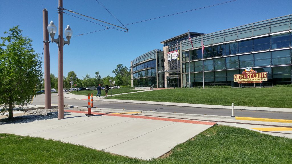 The Missouri History Museum stop. The trolley won’t go this far when the museum is closed. Perhaps a shelter could be an incremental improvement later.
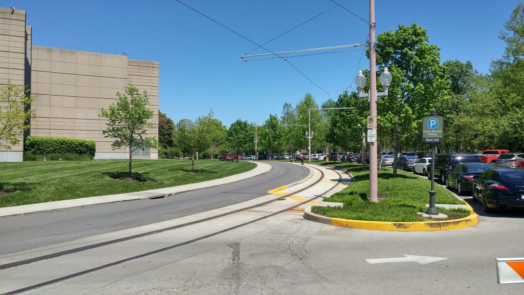 Heading north along DeBaliviere.
 At Lindell Blvd. Pedestrian infrastructure has improved, though there are drainage problems on the northeast corner. I would love pedestrian refuges in Lindell. Because DeBaliviere is divided here, there is room since there are no turn lanes in the crosswalks. They would help slow cars and aid crossing Lindel.

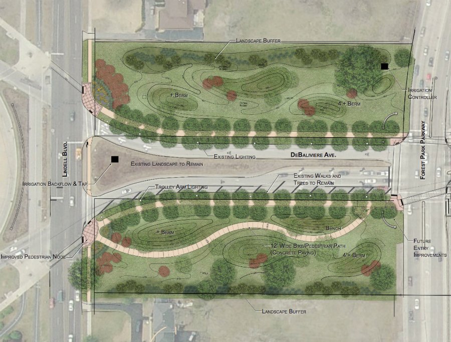 The land along DeBaliviere between Lindell and Forest Park Parkway is a part of Forest Park. Inactive grass for many years, it is now getting a landscaping overhaul.
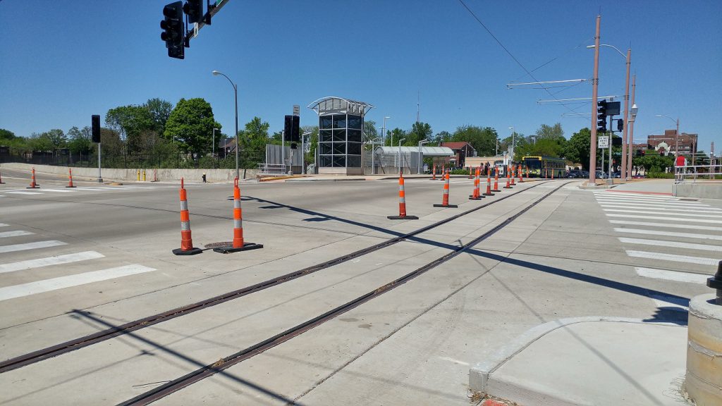
 At Forest Park Parkway. The intersection was completely rebuilt. Pedestrian infrastructure has greatly improved.
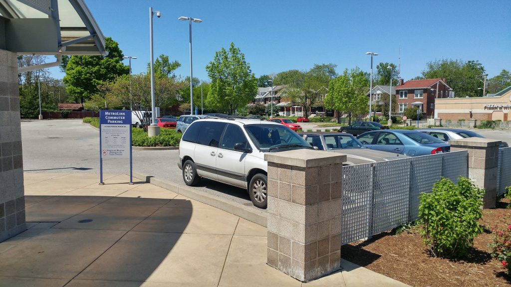 There’s a development opportunity at the 1.5 acre Metrolink parking lot. Bi-State provides 118 government-subsidized parking spaces. The tax exempt land use generates no revenue for the SLPS, the city, ZMD, MSD, etc. Let’s hope it joins the tax rolls sometime soon.
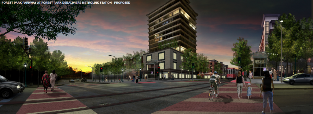 Vision for Forest Park Parkway and DeBaliviere. H3 Studio
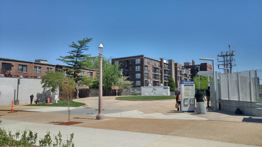 Another development opportunity across the street on another tax-exempt Bi-State-owned lot. It kept its curb cut.
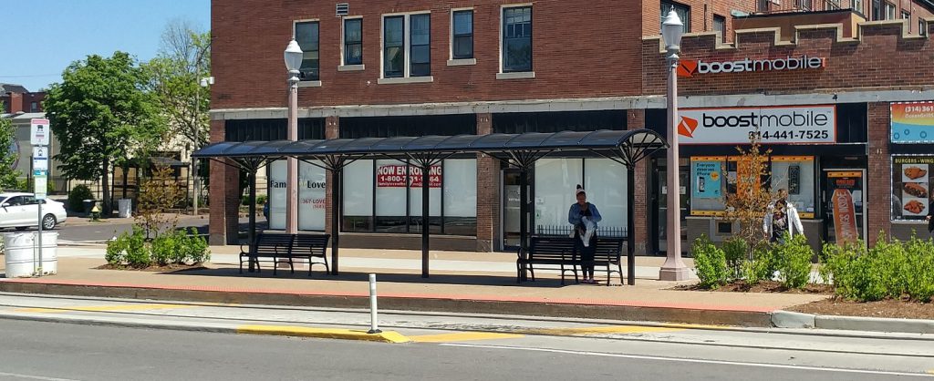 Trolley stop at Pershing. It is shared with the 90 Hampton and 3 Forest Park Trolley buses. Annoying that it’s not closer to the Metrolink station.
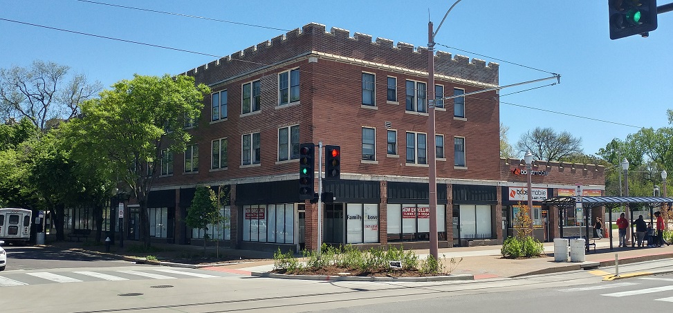 The traditional building at DeBaliviere and Pershing has an assessed value per acre of $833k.
 The intersection of DeBaliviere and Pershing. Three sides of the intersection are greatly improved.
 A crosswalk on the north side is missing. I complained about this to the Trolley Company last year when it became apparent it was missing. The engineer said that the reason it wasn’t put in was that the vast majority of the foot traffic is north-south (a non-sequitur IMO), and that it was too difficult to put an ADA compliant crosswalk there. I suspect no one seeking to cross there will go 3/4 around the intersection as we see at the missing crosswalk at Euclid and Forest Park Avenue. Ignoring reality is regrettable.
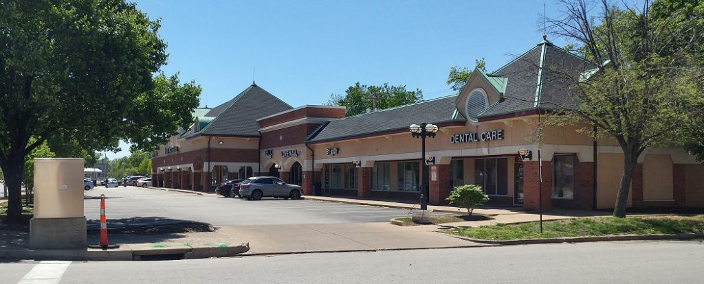 Redevelopment opportunity on DeBaliviere between Pershing and Waterman. Unfortunately the traditional buildings here were demolished in the 1980s for this low-productivity auto-oriented land use. It’s assessed value per acre is $249K. I suspect it’s not covering its burden on city services.


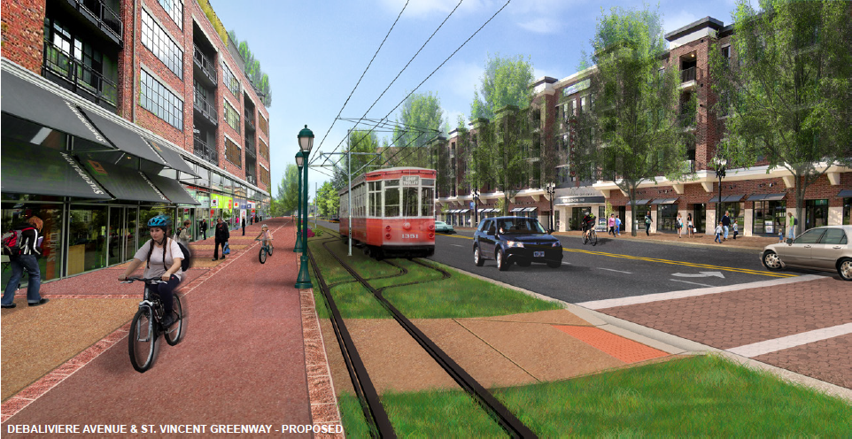 Vision for the strip mall redevelopment looking southwest from Waterman and DeBaliviere. H3 Studio
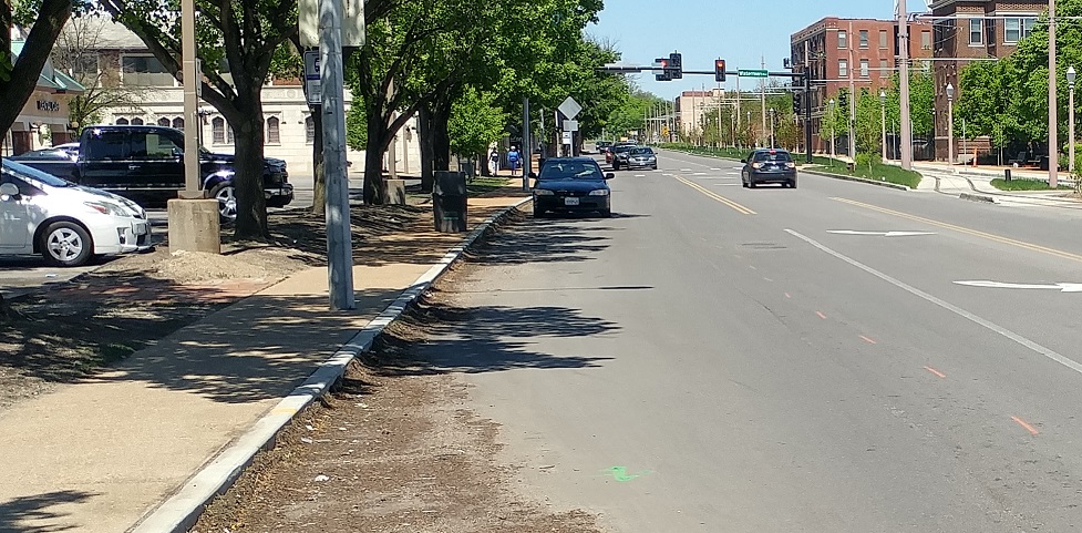 Street Parking was added on the west side of DeBaliviere.
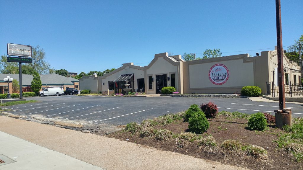 Redevelopment opportunity across the street. This low-productivity auto-oriented land use has an assessed value per acre of $239k.
 It and the property next door get to keep their curb cuts. Quite an amenity for such low return.
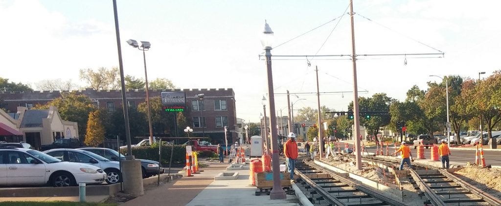 They could have shared one or used alley access as they did when construction blocked access from DeBaliviere- somehow auto-dependent patrons found their way.
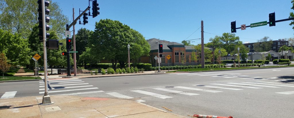 The intersection of Waterman and DeBaliviere looking southeast.
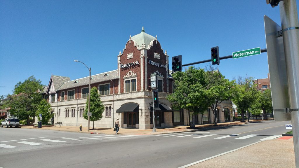 The intersection of Waterman and DeBaliviere looking northwest.
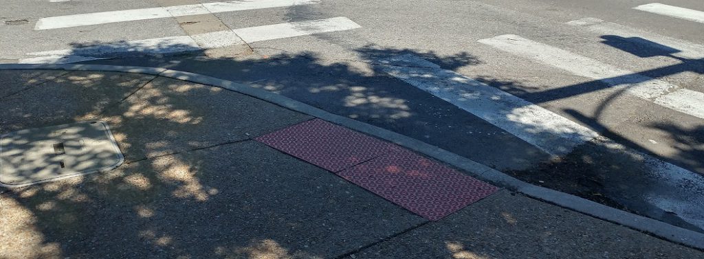 The curb cut at the southwest corner is awkward for north-south travelers.
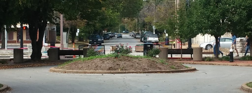 {#Healthegrid}
This was a missed opportunity to heal the grid, relieving traffic pressure on Pershing and providing quicker access for EMS.
 Development opportunity on the absurdly large Busey Bank parking lot. Unfortunately the traditional building at 433 DeBaliviere succumbed to fire in 1970.
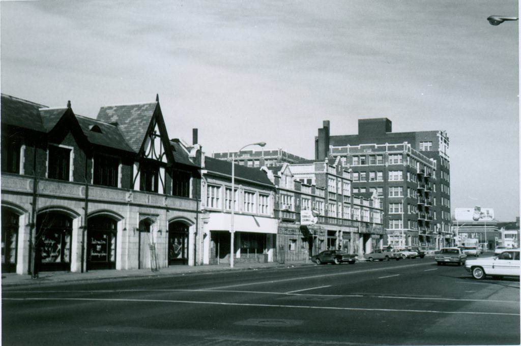 400 block of DeBaliviere. What was best exemplifies what should be.
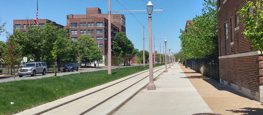
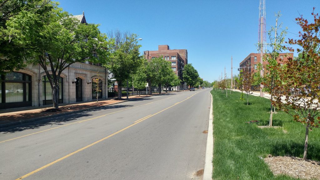 Some parts of the east side of DeBaliviere have a highway feel due to lack of street parking, wide lanes, low-rise land uses, and the grassy strip running next to it. The trees may help as they grow.
 McPherson blocked at DeBaliviere
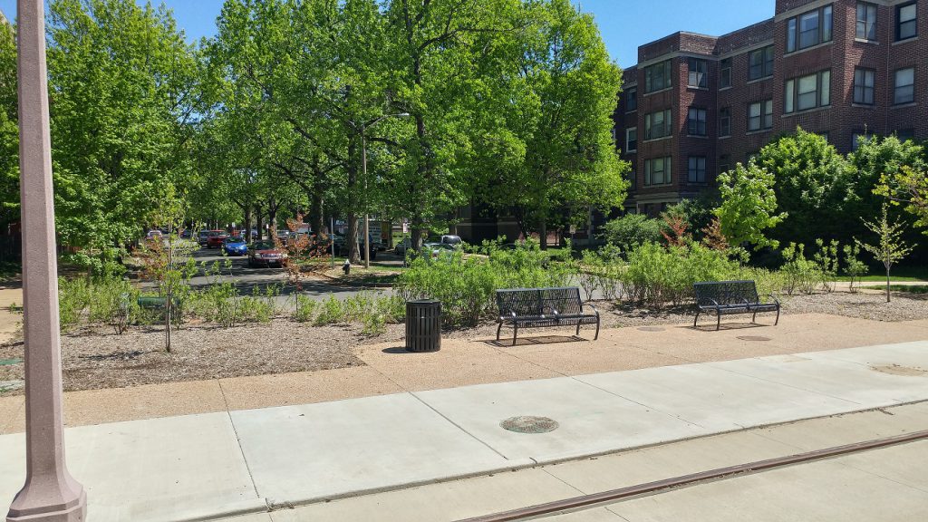 Kingsbury blocked at DeBaliviere
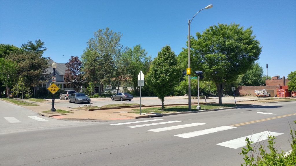 Development opportunity across from Crossroads School. The school owns the parcel, and it is tax-exempt. Hopefully it will join the tax rolls soon.
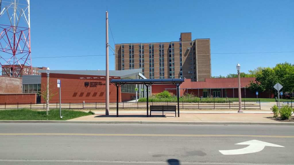 Crossroads School got to keep both its curb cuts and has a trolley stop, tax-exempt.
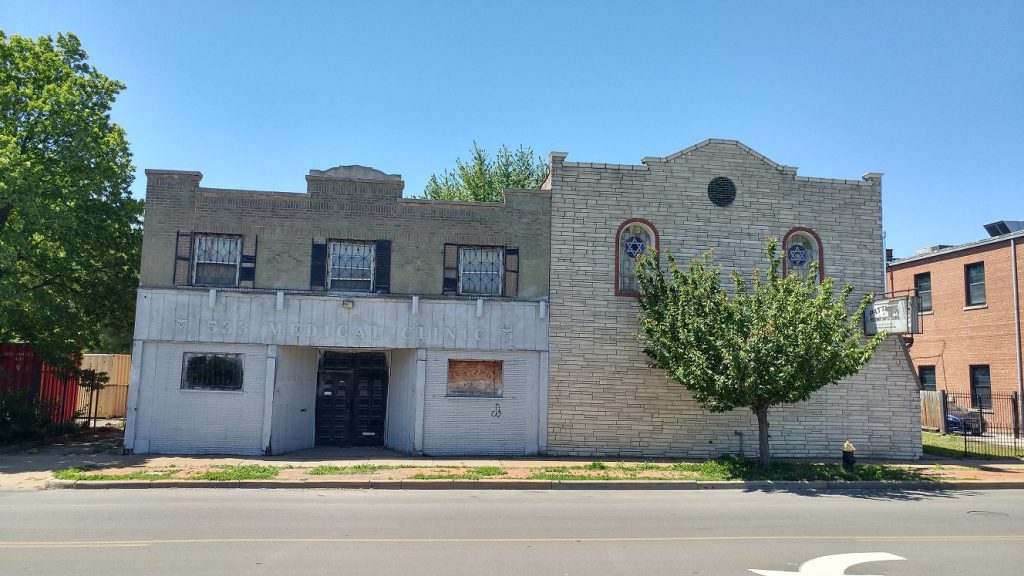 Left – This sad-sack building, owned by someone in Frontenac living in a $1,345,000 home, could use some love. Right – A small church, tax-exempt.
 KMJM 100.3 transmission tower. Any chance it could move?
 Cute fire station No. 30, city-owned and tax-exempt of course.
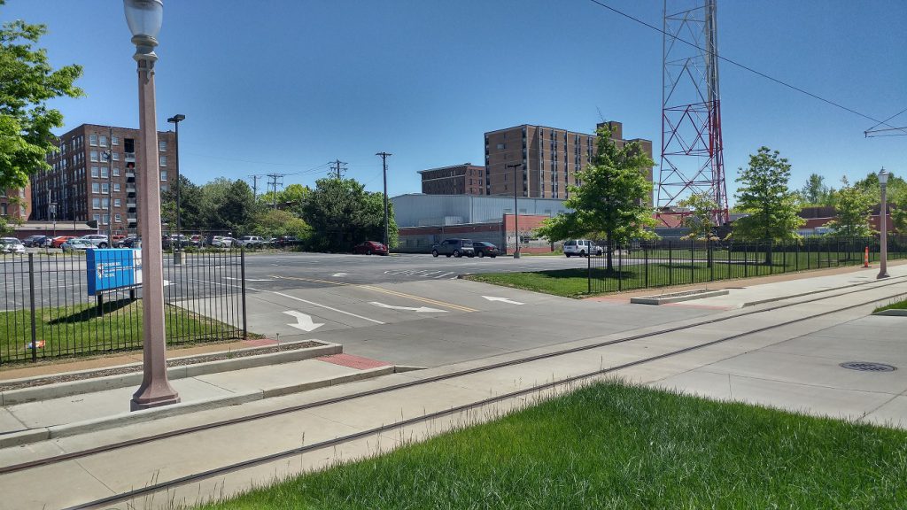 Tax-exempt car storage with three-lane curb cut for Crossroads School.
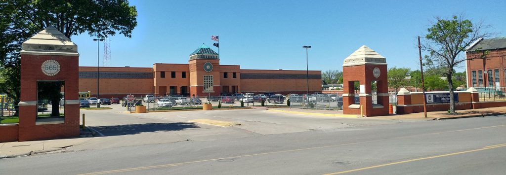 The behemoth Metro garage- tax-exempt.
 {H3 Studio}
The Skinker DeBaliviere neighborhood plan shows the possibility of the garage being vacated and available to be developed.
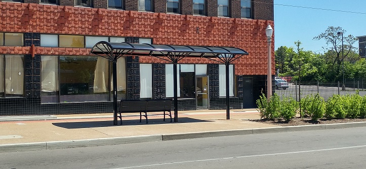 DeBaliviere at Delmar is adorned with two really cool buildings and has a trolley stop.
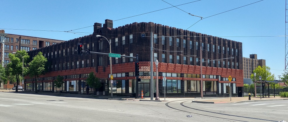 566 DeBaliviere. Numerous pictures at St. Louis Patina.
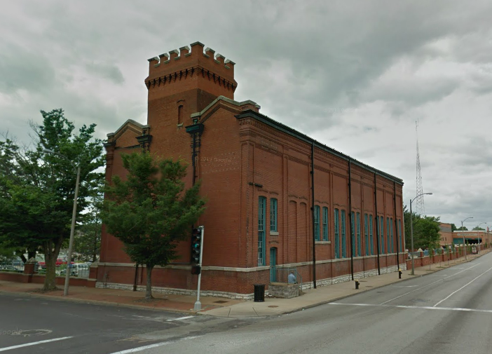 Across the street. My dream for this is a micro-brewery. There’s space for the outdoor biergarten already.
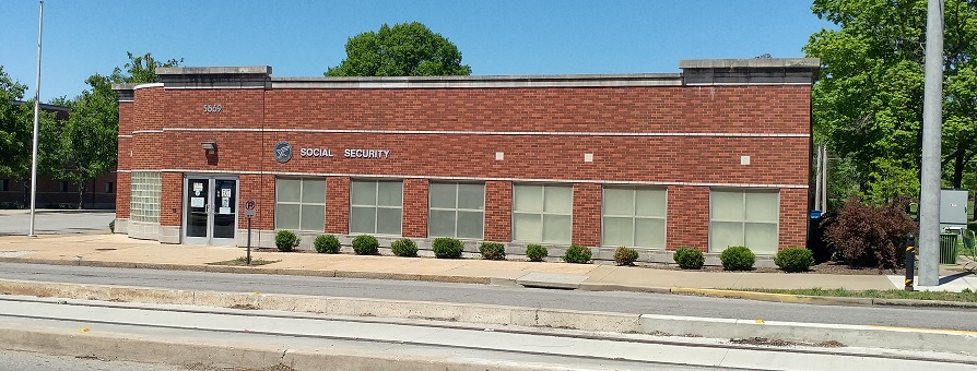 Social Security office- tax-exempt.
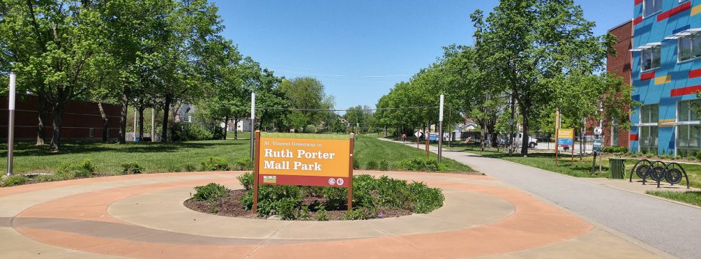 Ruth Porter Park with the St. Vincent Greenway extends north. I wonder if it would have been better to extend DeBaliviere north.
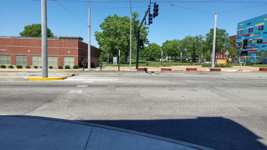 Another crosswalk is missing on the west side of DeBaliviere at Delmar.
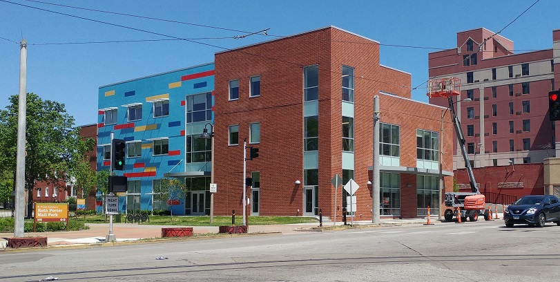 The new Adolescent Behavioral Health Center by People’s Health.
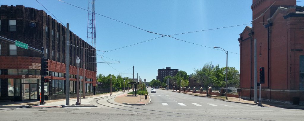 The remake of DeBaliviere with the Loop Trolley and St. Vincent Greenway has greatly improved it. Four driving lanes were too many, and the street diet is welcome. Regrettably only one of the eight private curb cuts crossing the trolley’s path has been removed- a nod to the continued auto-orientation of the corridor. Three public street blockages were maintained. On-street parking has been added on parts of the west side of DeBaliviere. Some parts of DeBaliviere and the greenway have a highway feel.
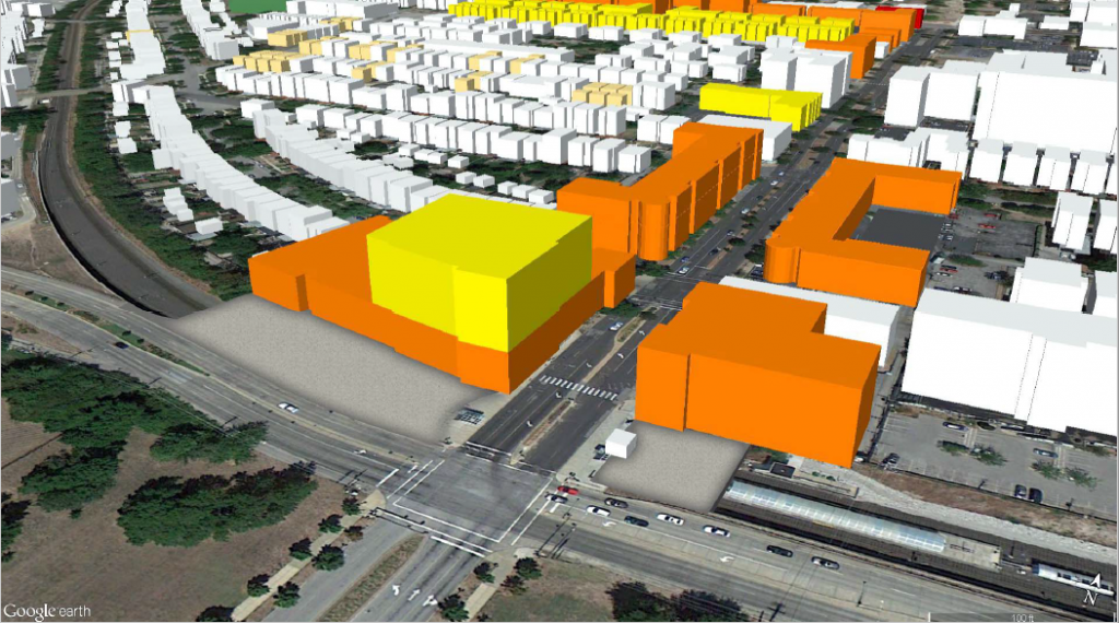 {Massing of DeBaliviere from TOD plan. H3 Studio}
With so much tax-exempt and low-productivity land uses along DeBaliviere, this part of the route isn’t pulling its weight. Let’s hope more productive land uses will come soon.
