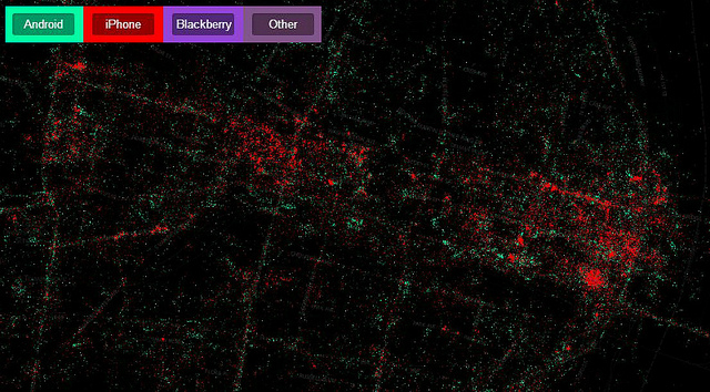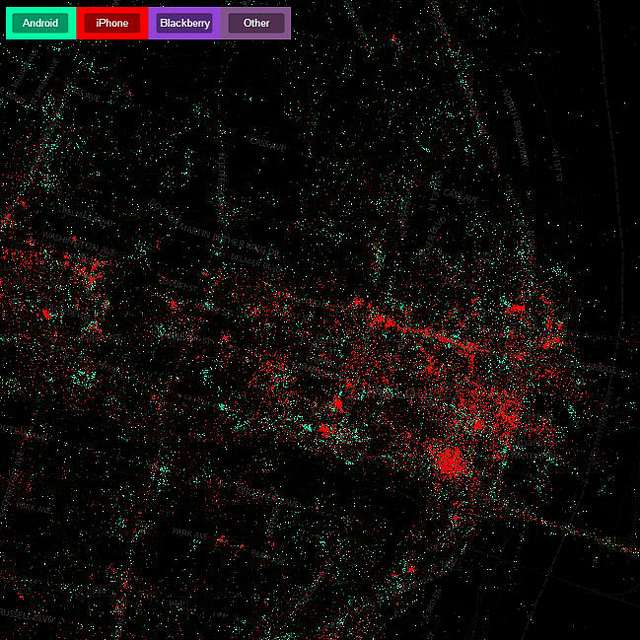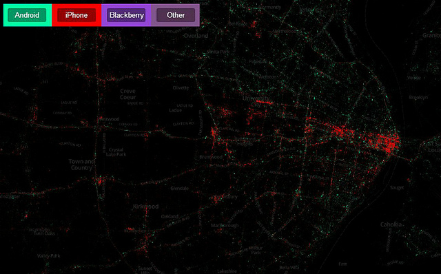
We previously posted a map showing the location of geotagged photos by locals and tourists in the St. Louis area. Now MapBox has produced something a little more fine-grained, geotagged Tweets by mobile phone operating system. These are always fun to look and an explore, and as with the photos, one can easily find landmarks such as the Arch, The Loop, Busch Stadium, The Muny and other popular destinations. But the creators go a little further this time, stating:
Mobile Devices is a map that reveals the information about phone brands that is stored when people use an official Twitter App and is hidden in the metadata attached to each tweet. Each brand of phone is a different color and can be independently toggled. The patterns of usage in each city often reflect economic stratification. For example iPhones, in red, are predominantly in wealthy sections of the city while Android phones, in green, have more coverage in poorer sections. On a global level, national trends reveal a complicated set of cultural preferences.
At a quick glance, this would appear to be less true in St. Louis than some places. There are bright red areas, to be sure, but the red drowns out the green, and the dispersion of the colors seems rather uniform. It is clear though that Android dominates Tweets from north city and north county, but Ladue Tweeters appear relatively happy with their Android phones as well. What do you see?


{click on image above to visit MapBox Mobile Devices interactive website}


