St. Louis was once the nation’s premiere streetcar city. The maps below show just how extensively the streetcars gridded the city to meet transportation needs. The St. Louis Car Company produced the most widely used street cars in the country. As cars reigned supreme over St. Louis streets in the post-war period, the streetcars became a target of the automobile lobby and were ripped up or paved over following their closure in the 1960s.
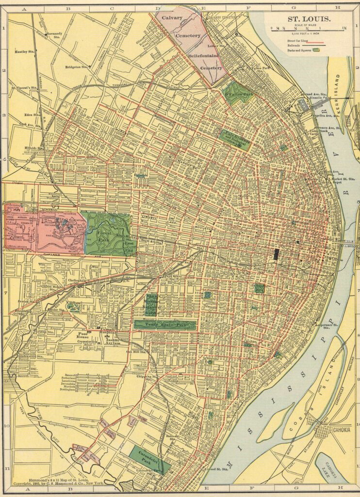
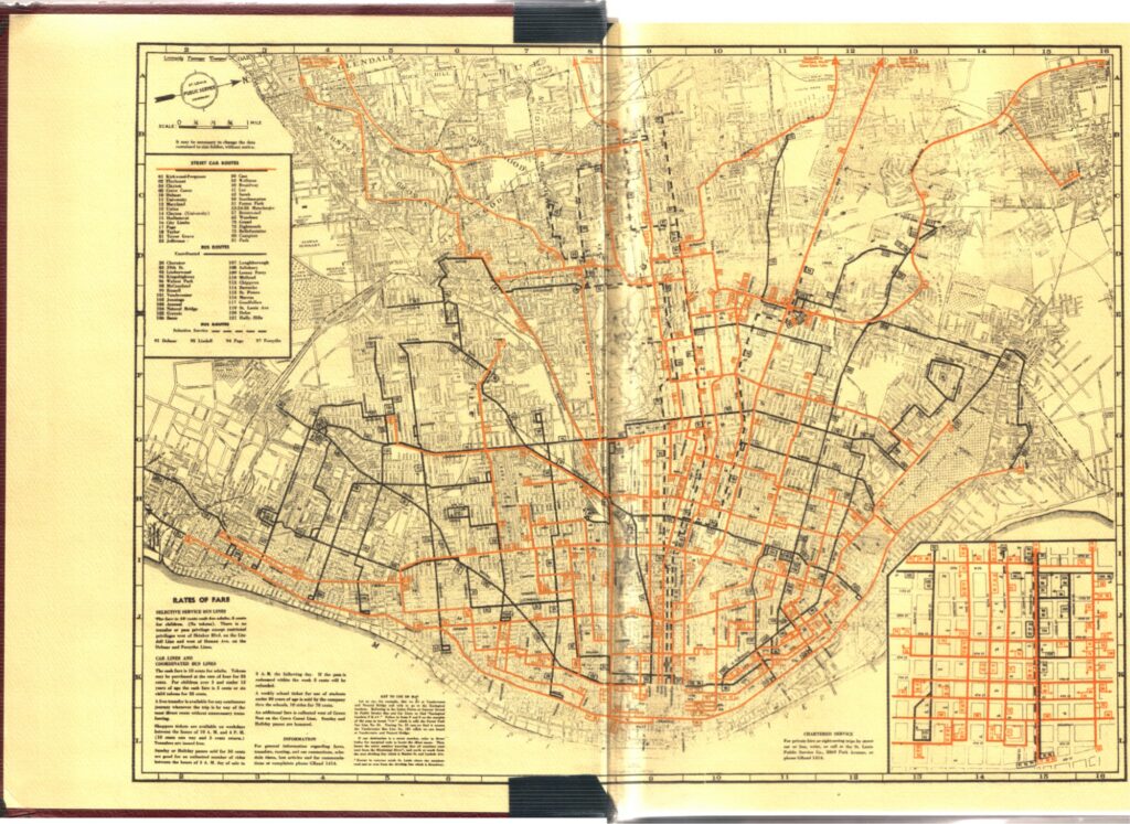
Today’s reminders of the streetcars of yesteryear are lackluster and few. One might spot a chunk of exposed rail at the bottom of a pot hole, both a reminder of what was destroyed and the city’s current inability to meet infrastructure needs. This inability is due to the region’s abandonment of public transportation and sustainable land use for sprawling land use patterns permitted by the personal automobile. The Hodiamont right of way is another clue of the old network. It an overgrown alley now, but it is poised to become a future greenway. And the Loop Trolley is, well, the Loop Trolley.
Below are some gifs from footage of streetcars on the west side in the system’s final years.
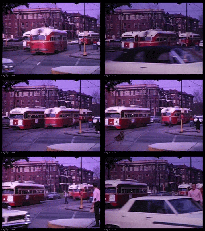
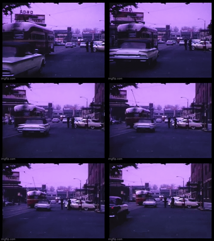
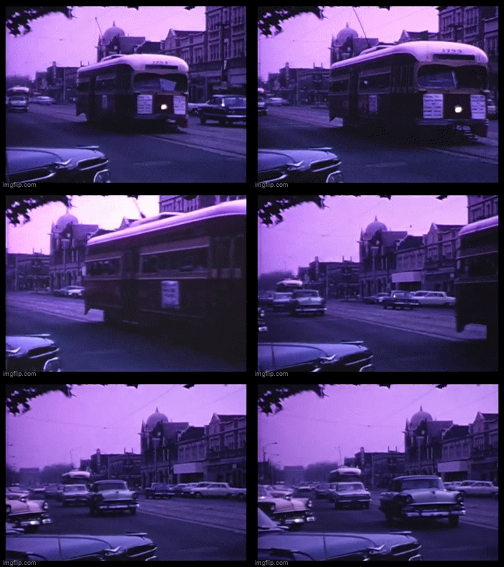
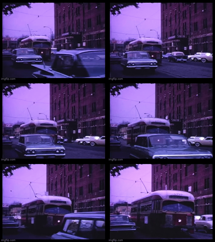
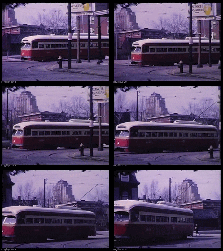
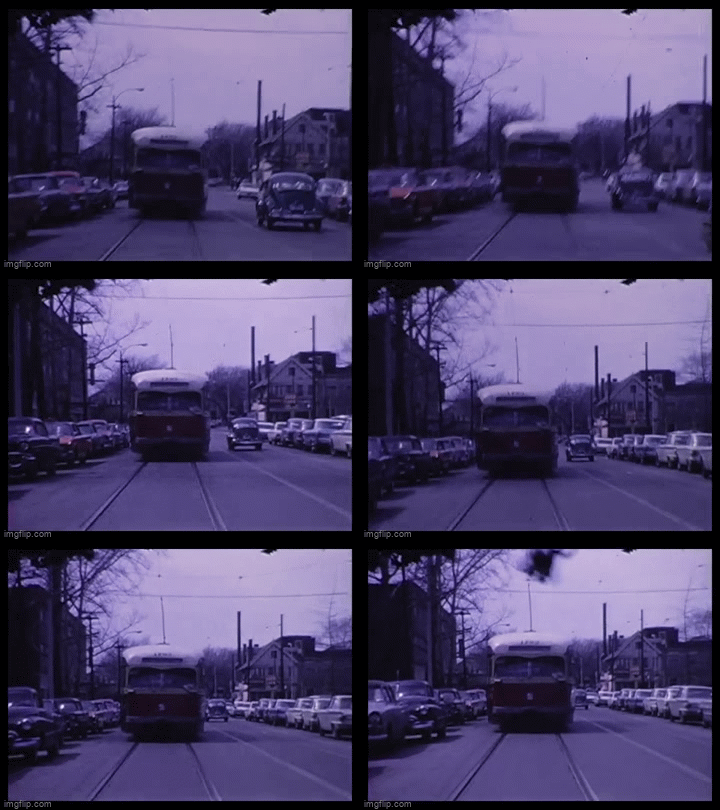
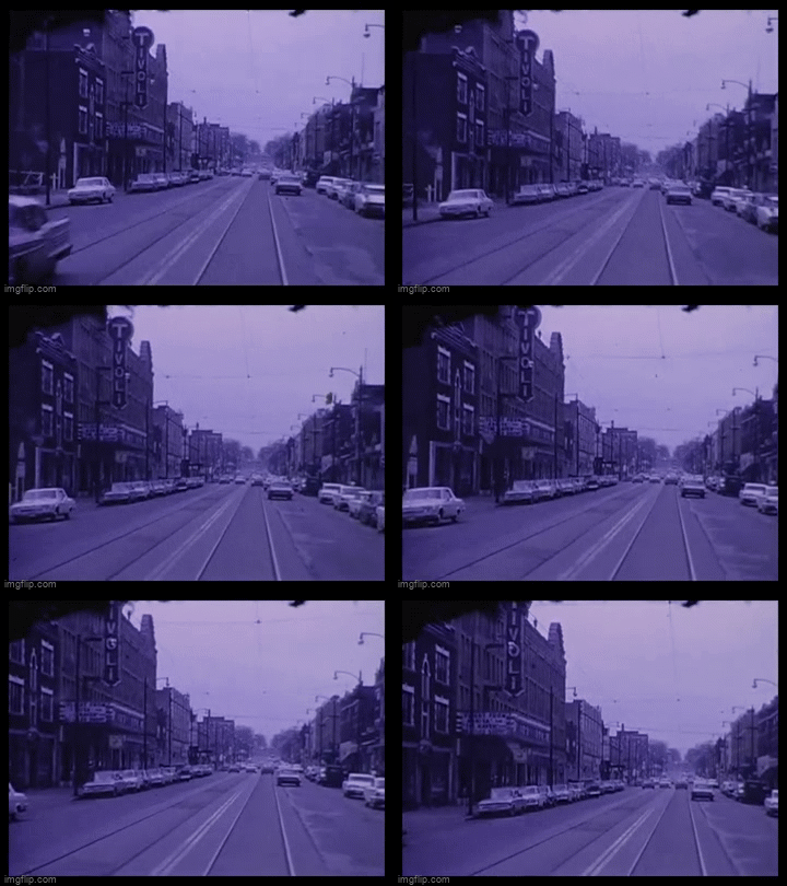
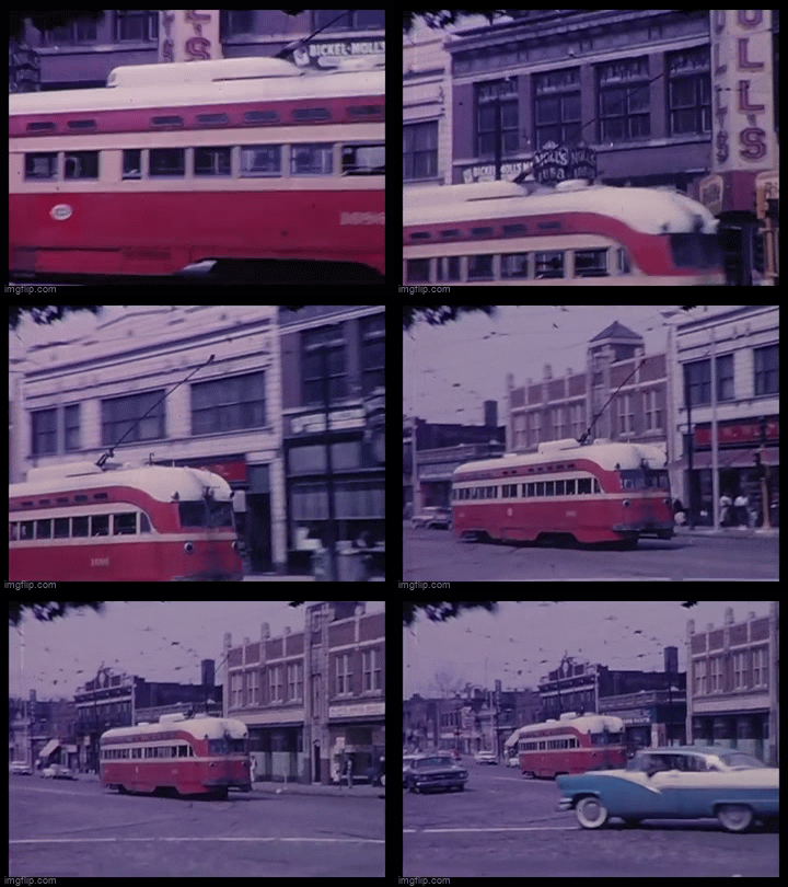
These images show a vibrant city. In the 1960 census, the city population was 750,000. The west side neighborhoods had seen a huge population boom in the post-war period and were beginning to integrate racially. This was in part driven by the massive displacement of urban renewal in the heart of the city.
From these videos, it is hard to understand how, just 10 years later, the city would claim that these neighborhoods were blighted. I have seen hundreds of pictures from the neighborhood, but there’s something about a color video of life in the neighborhood that gives a new perspective.

